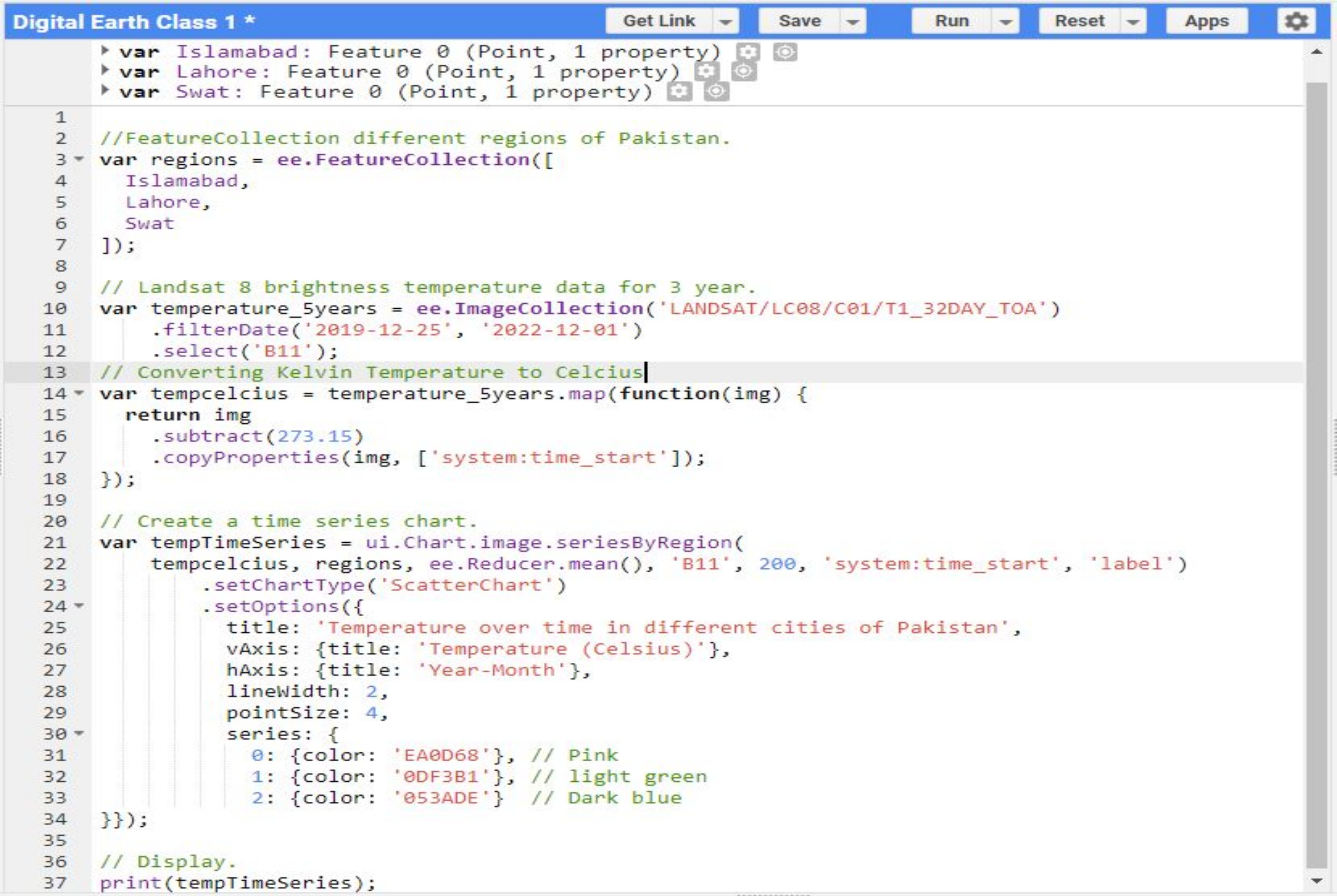
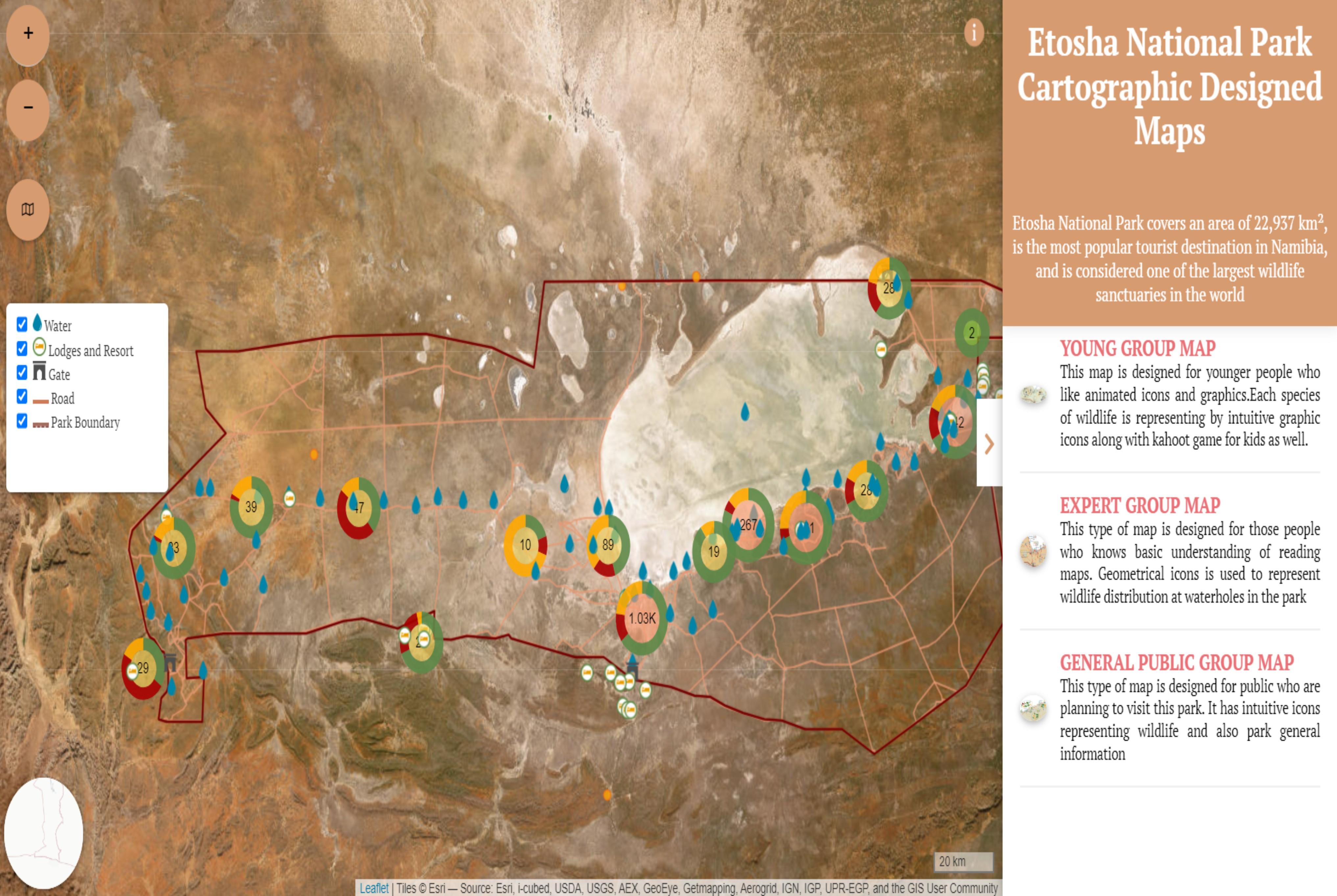
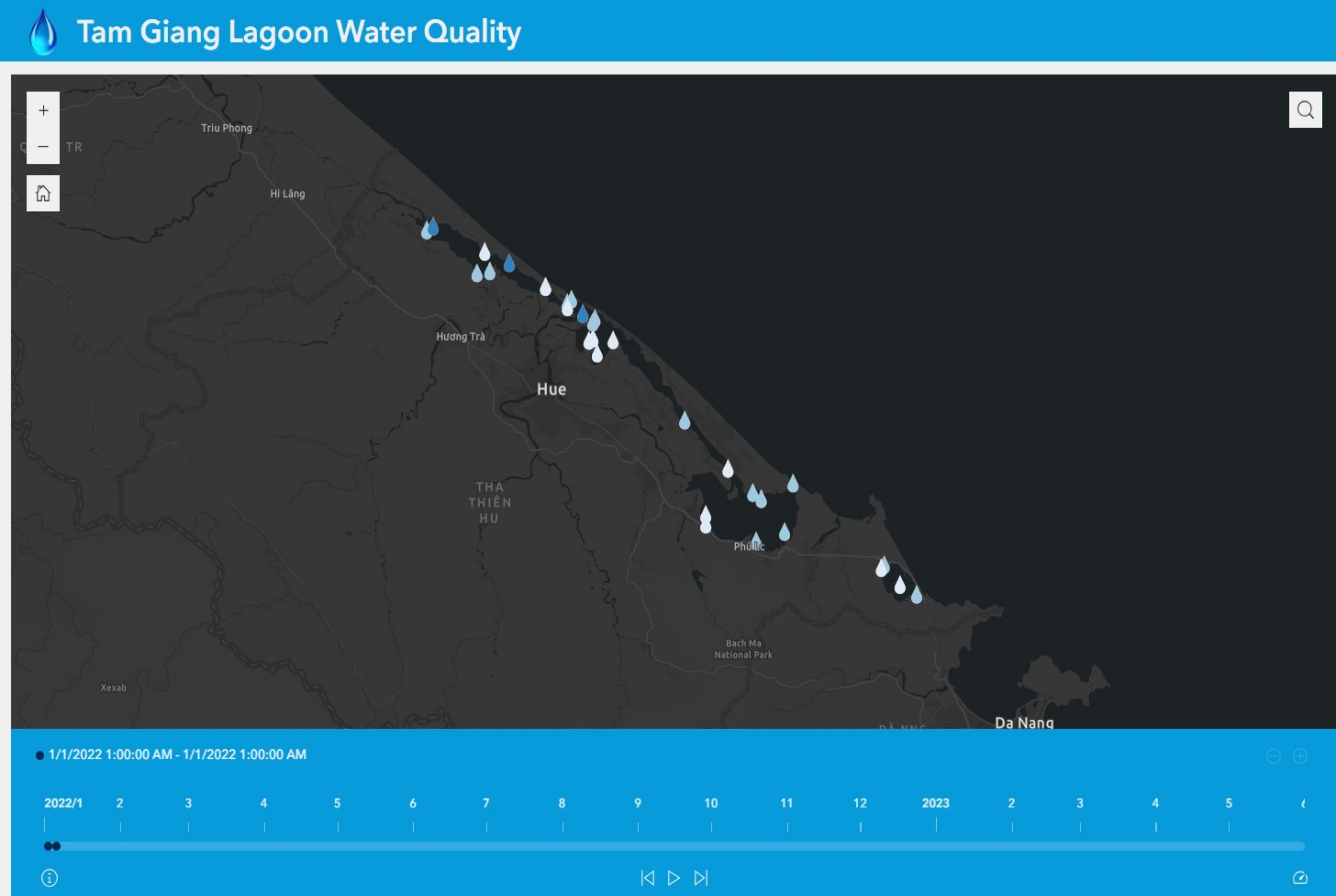
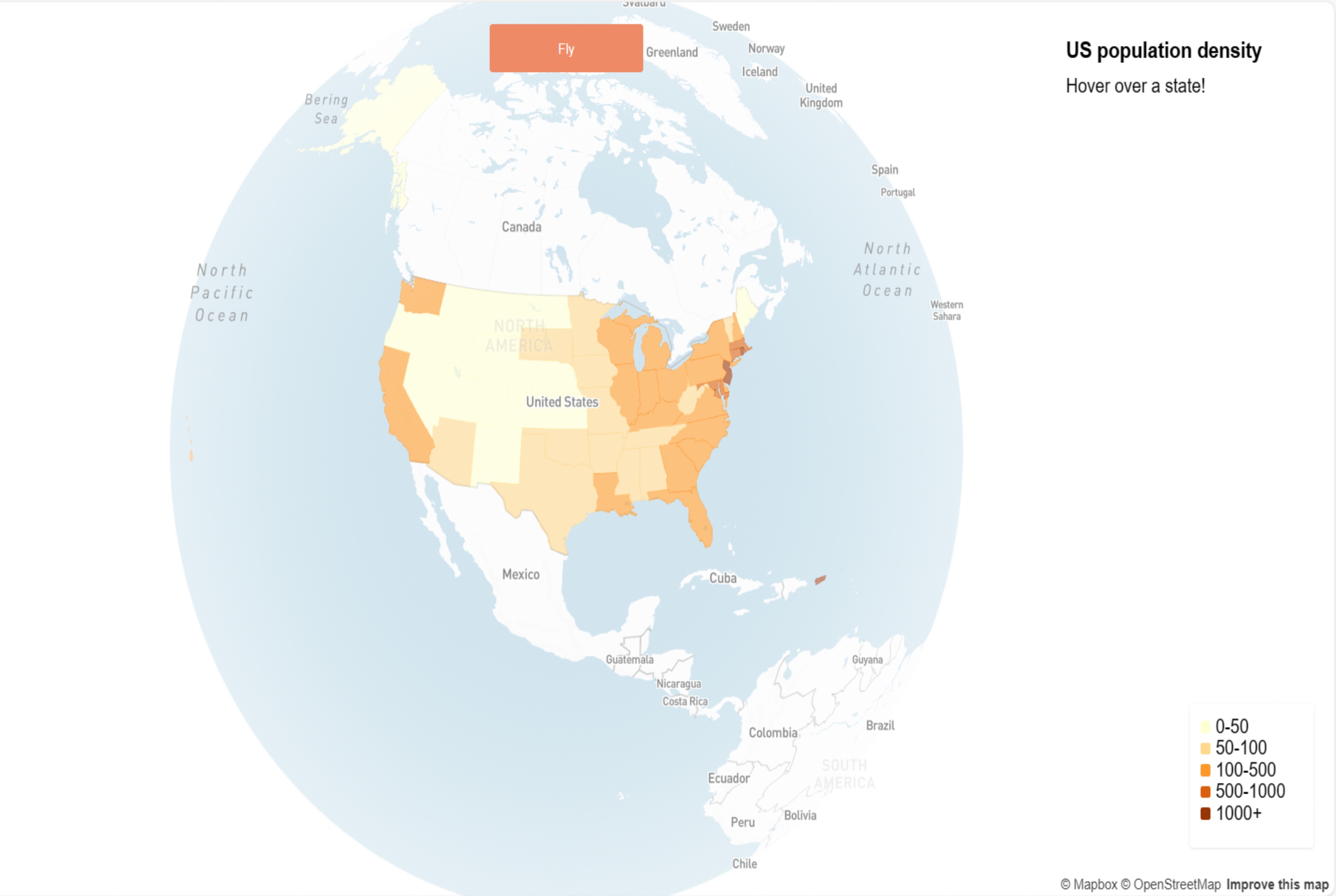
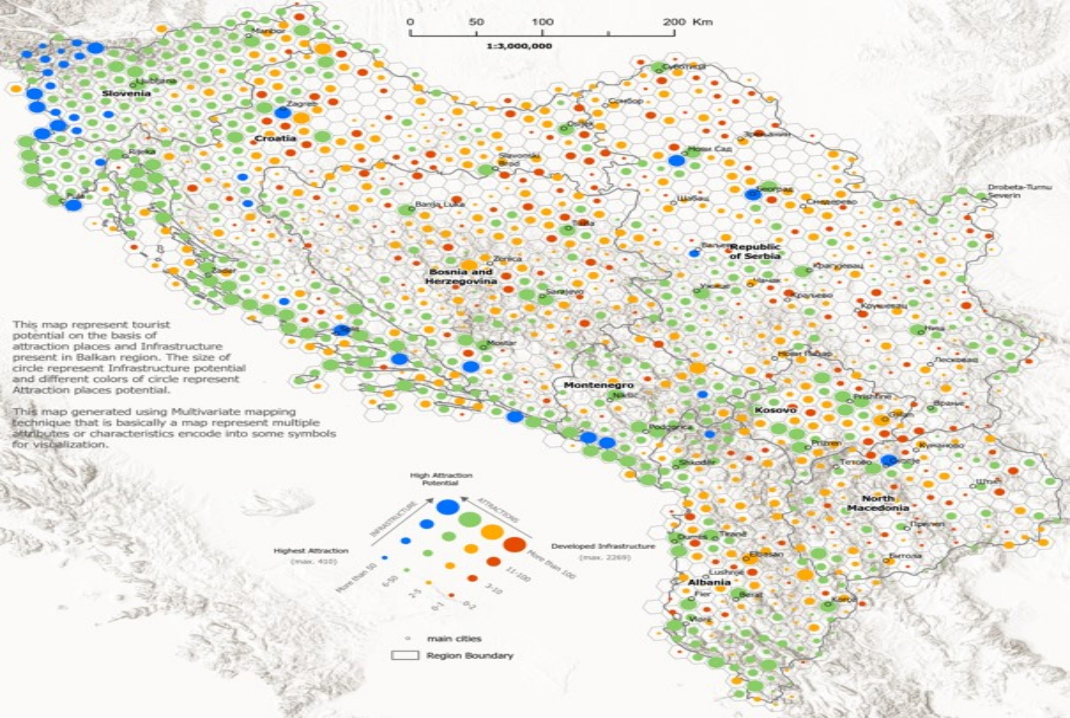
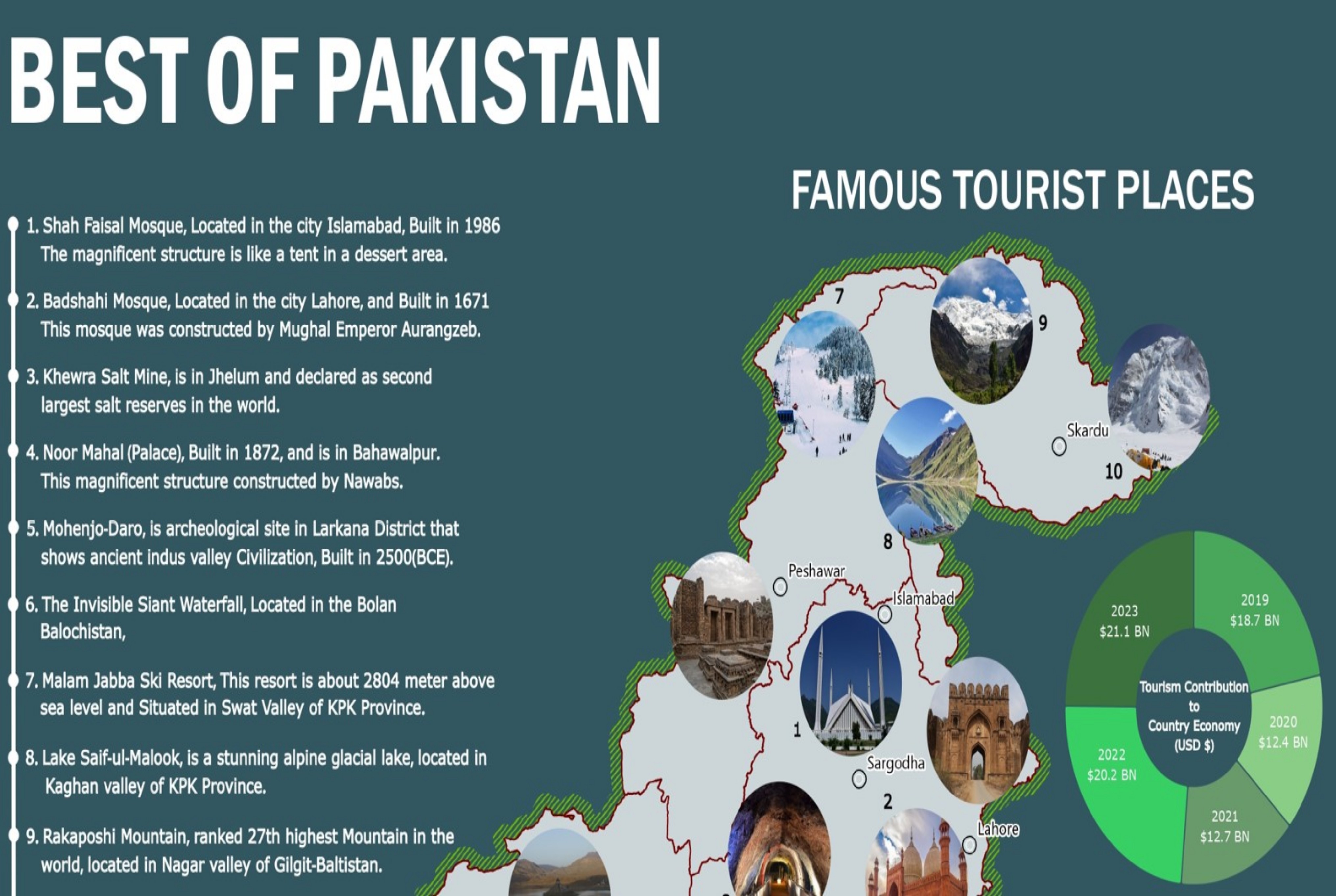
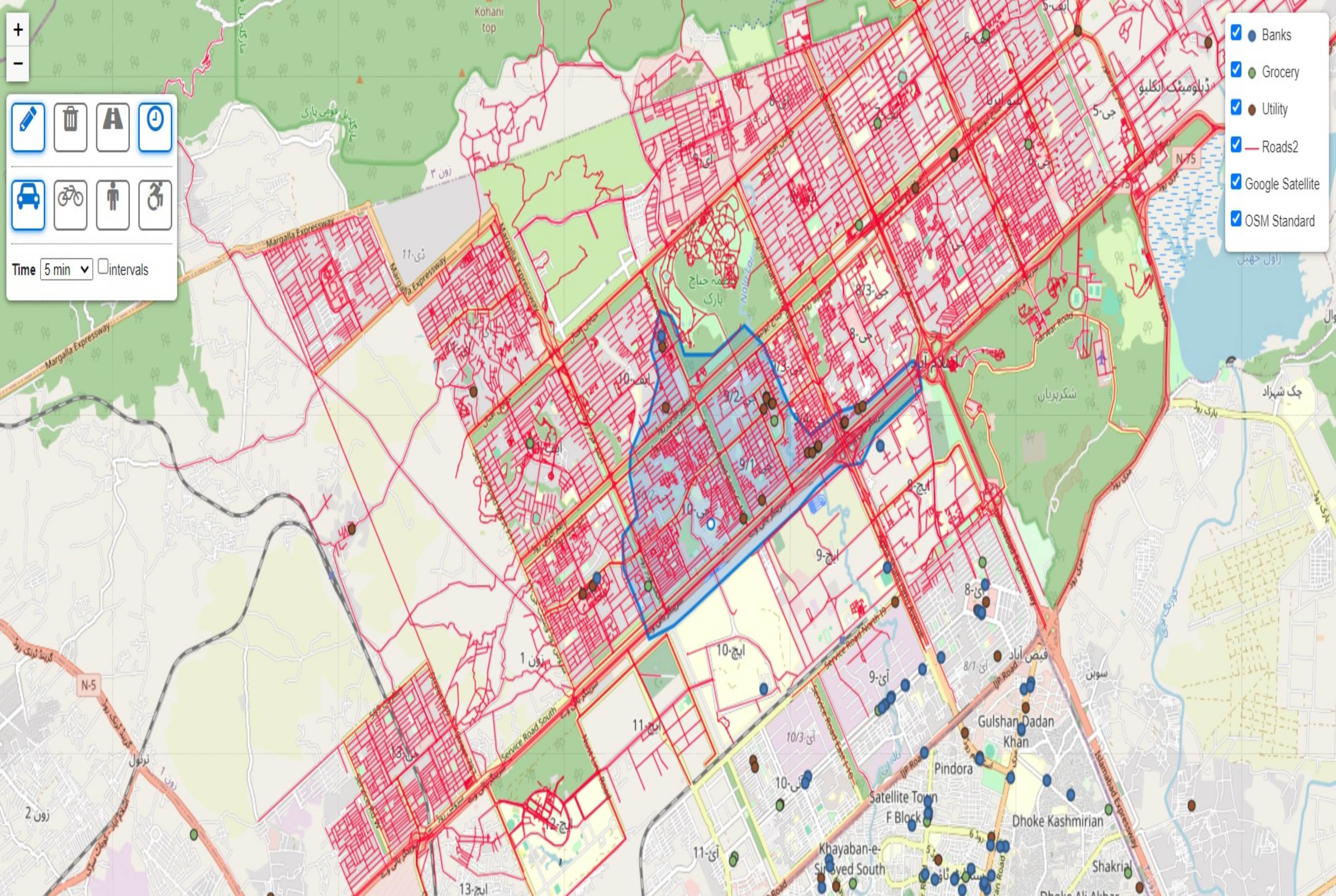
Portfolio
This section highlights some of the projects that I have done during my master's studies and professional career.
- All
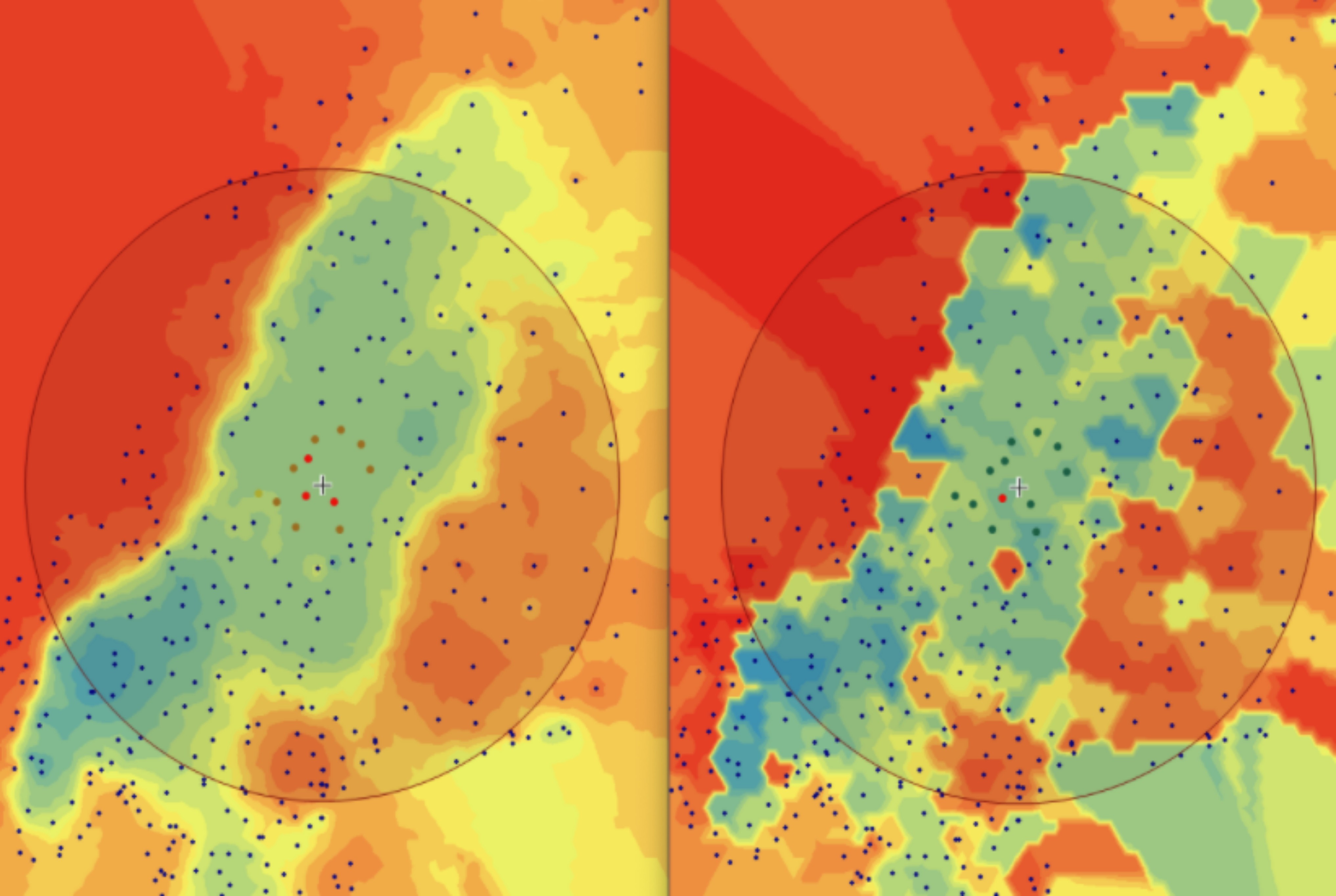
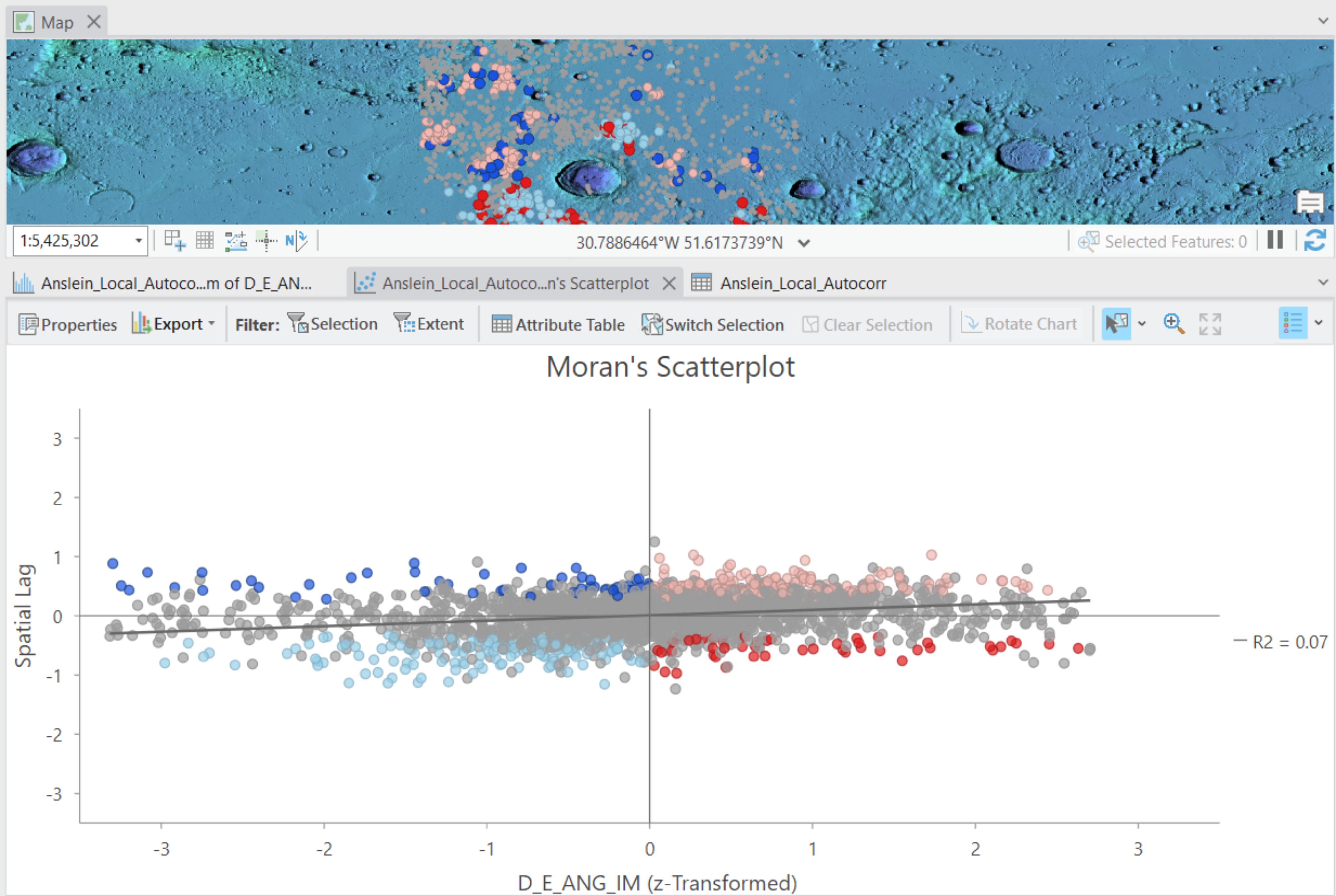
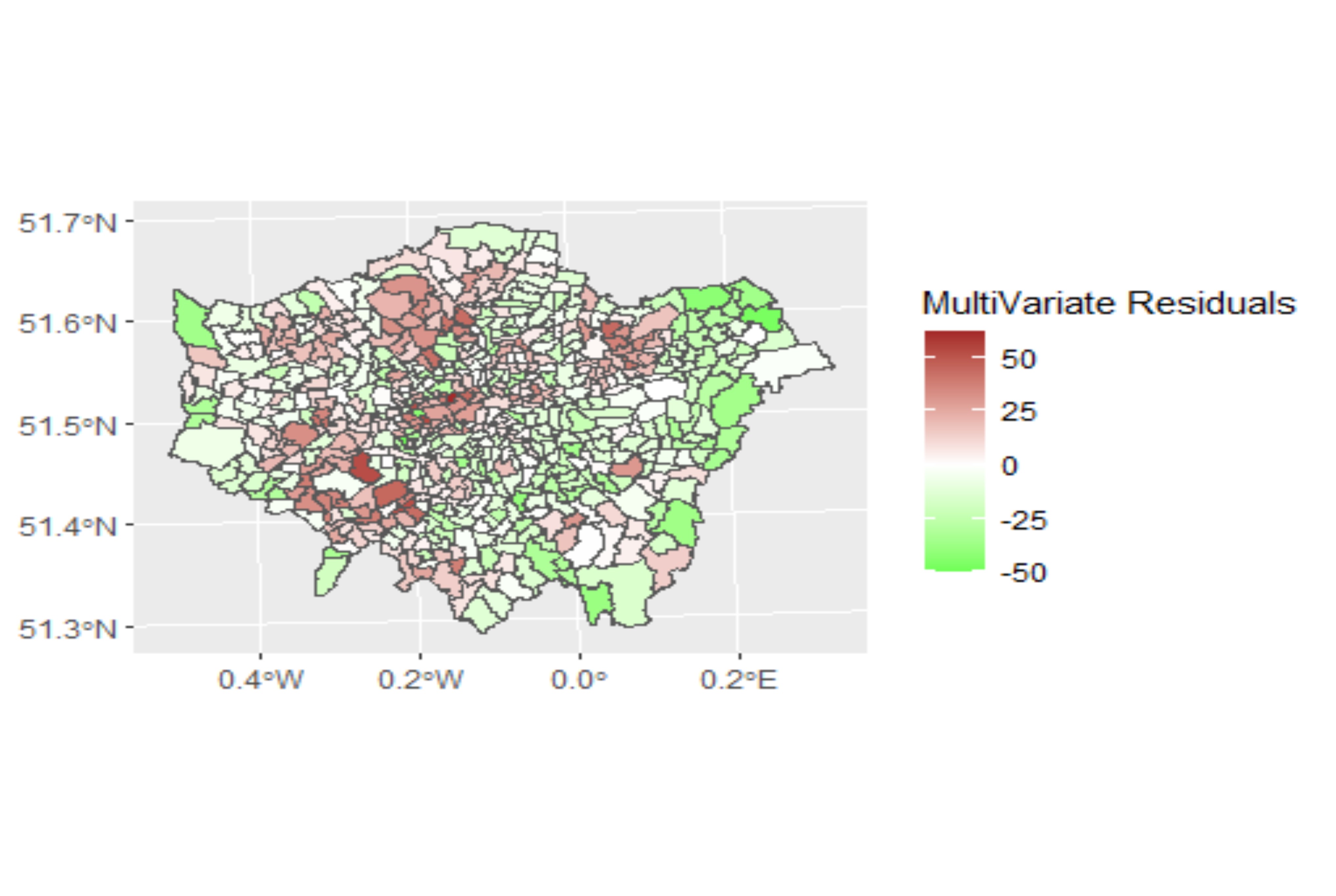
- Spatial Analysis
- Cartographic Maps
- Web Application
- AI
- Master Thesis
- Professional Web Project
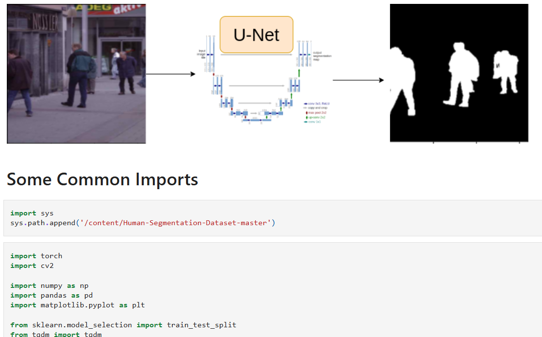
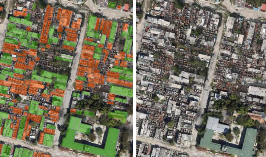
Human-Image-Segmentation-with-U-Net-in-PyTorch
An end-to-end human image segmentation project built with PyTorch using a U-Net architecture with an EfficientNet encoder. Includes data preprocessing, augmentation with Albumentations, custom dataset pipeline, training/validation loops, and inference on custom images.
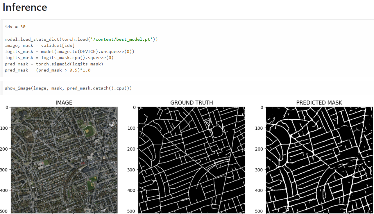
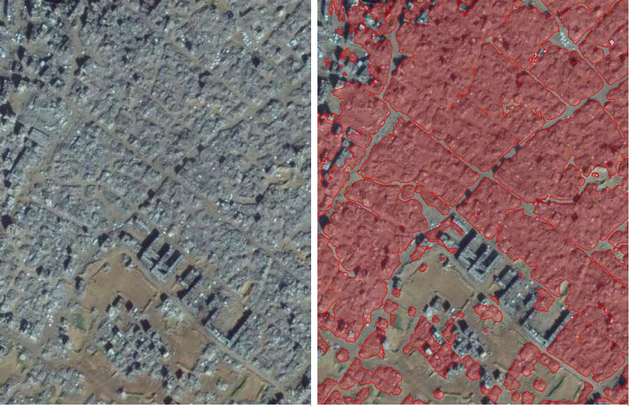
Road-Segmentation-from-Aerial-Satellite-Imagery-using-U-Net-in-PyTorch
A deep learning project for road segmentation from aerial satellite imagery using a U-Net architecture in PyTorch. The notebook includes data preprocessing, augmentation, custom dataset pipeline, Dice + BCE loss optimization, training/validation loops, and inference visualization.